


PD
Size: a a a
2018 October 06

PD
Треба почистити зайве, там ще поруч багато
MM
Що значить не промаплені, там всюди нанесений ареал забудови. А будиночки по селах взагалі мало де нанесені
MM
От якби десь було місце з чистого листа)) Може десь в Монголії)
PD
Maxym Mysak
Що значить не промаплені, там всюди нанесений ареал забудови. А будиночки по селах взагалі мало де нанесені
Відсутні highway=residential
A
Maxym Mysak
Що значить не промаплені, там всюди нанесений ареал забудови. А будиночки по селах взагалі мало де нанесені
Во многих сёлах улицы и проезды отсутствуют в принципе. Есть только главная дорога через село
С
Pavlo Dudka
Насправді немає одназначного правила, хтось додає admin_level=9, хтось - тільки place=village
Все ж думаю було б доцільно обрати один якийсь варіант, щоб не влаштовувати війну правок)
🐣В
Во многих сёлах улицы и проезды отсутствуют в принципе. Есть только главная дорога через село
Вот д
🐣В
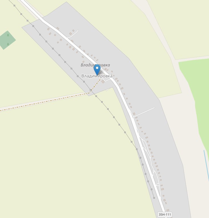
это типа не замаплено?
N
В Литве тоже видел типа незамаппили. Непонимаю
PD
Тут немає highway=residential, тому воно і думає, що не замаплено
PD
Транзитна вулиця tertiary, а бокових немає
PD
Але таке не часто буває
PD
Більшість сіл там правильно знайдено
N
Если нет хайвей=резидентиал, тогда считается что незамапил?
PD
Use every place node of the OSM dataset which has a village-tag (place=village).
Search in a radius of ca. 700 m for a street with one of the following highway-values: residential, unclassified or service.
If no street can be found, mark the place as “unmapped
Search in a radius of ca. 700 m for a street with one of the following highway-values: residential, unclassified or service.
If no street can be found, mark the place as “unmapped
N
Спасибокрасава
N
красава
N
*